nearby trails
Mariton Wildlife Sanctuary
This 200-acre preserve is located in Williams Township and is managed by Natural Lands. The preserve is home to a variety of mammals, birds, and reptiles, and has more than 425 species of plants, trees, vines, and shrubs. The forest here is dominated by oak, sweet birch, and tulip poplar and opens into a few small meadows on the hill tops. There are approximately four miles of trails suitable for various physical abilities. There is also a dramatic overlook where steep cliffs drop off to the Delaware River.
D&L Towpath (Delaware Canal State Park, Durham-Easton section)
Easton to Durham Furnace is a nearly 10-mile stretch of the 165-mile Delaware & Lehigh National Heritage Corridor. It's moderately trafficked and features water views of the adjacent Delaware River and Delaware Canal. It's easy to moderately difficult, offers a number of activity options, and is accessible year-round. For this section, access from a parking lot off of Rt. 611S at Easton Lock #24, or at the other end, Durham Aqueduct (& Lock 21), Kintnersville. (Or for a shorter stretch, you can access at various points in-between.) See the map here: https://delawareandlehigh.org/wp-content/uploads/2015/03/dcnr_DelCanalStatePark.pdf
The Highlands Trail
This section of the Highlands Trail begins at the Roebling Bridge in the Borough of Riegelsville and follows the D&L Trail south for 5.3 miles along the Delaware Canal towpath in Delaware Canal State Park to the planned Ringing Rocks Trail. This section offers outstanding views of the canal, Delaware River, preserved farmland, Nockamixon Cliffs (PA side of the river) and Milford Bluffs (NJ side of the river). Trail access can be found at one of the small parking lots along the Delaware Canal on Rt 611 or River Road (Rt. 32). For more details on this trail section refer to the PA Highlands Trail Feasibility Study #1.
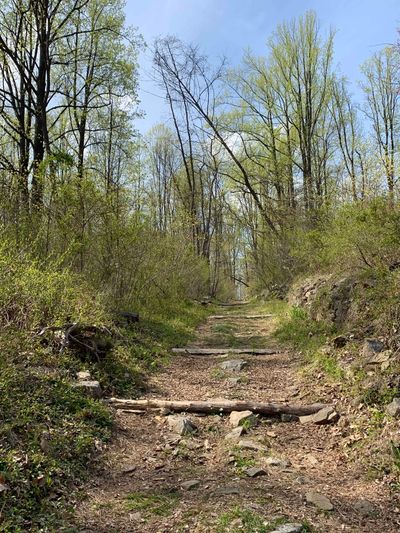
Woodland Hills Preserve
This Lower Saucon Township park is on the grounds of the 148-acre former Woodland Hills Country Club. It has about 3.5 miles of trail, much of it wide mowed grass but with a .4-mile paved ADA loop right off the parking area. With lots of natural brush and several ponds, the area attracts a variety of bird life. Access is off of Countryside Lane. Link to the trail map here: http://www.lowersaucontownship.org/pdf/whmap.pdf